Travels With Mimi www.avita.us


SIGHTS OF EASTERN OREGON


September 16, 2024
Home page


It took about 40 hours of researching to come up with some new things to do and see in Oregon as we've been there so often. Even then we wound up revisiting some places we had seen before. But as we joke, thanks to a fading memory those things might seem new again. Plus we usually find new things to do at old places. It would be much simpler to just park a trailer at a reservoir for a week as we see so many people do, and they seem to enjoy themselves, but it would drive Mimi and I nuts. Perhaps when we get older we'll learn to just relax and sit. But as one person somewhat morbidly said, "there will be plenty of time to rest once we're gone".


  September 16

Our destination was Redding and then Castle Lake near Mt Shasta.
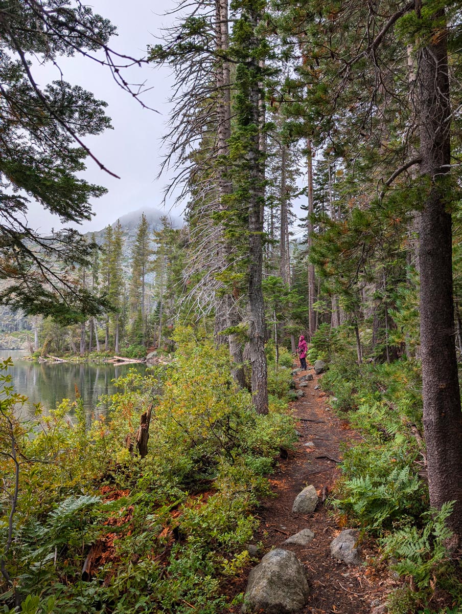
Redding has gotten to be quite a destination with it's Sundial Bridge being the centerpiece. They've developed the whole surrounding area into parks and museums for tourists & kids. But our main interest was the Mc Connell Arboretum which covers about 20 acres in a park like setting with narrow winding trails through  exotic plant specimens. Here we saw a strange but interesting sight, hundreds of lights and chandeliers hanging from the trees which lent a surreal feeling to the wooded walk. We finally found they had a light celebration near Christmas time which is suppose to be quite an event and they were hanging them as we walked. After that it was on to Castle Lake just west of Mt. Shasta which had a few trails that looked interesting in it's alpine setting. They had a campground only 5 minutes away and we were lucky to get a spot as there were only 6 of them. We saw a few young people that seemed unusually absorbed passing us on the trail and found they had a UC Davis research extension here in the middle of our hike beside this pristine lake.
 Part of the tail on the shores of Castle Lake.    


September 17

Our destinations for today were Crater Lake in Oregon and some hikes we had missed the last time, and then to visit some old friends in Sun River.
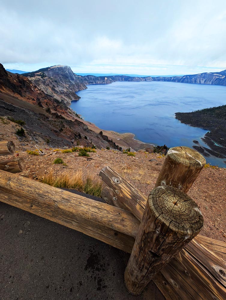
When we were here a few years back a nearby fire was raging and the smoke was so thick we could only see 500 feet or so in front of us and breathing was painful. This time the weather, while cool and blustery, was pristine. Our vacation got delayed by one week for reasons beyond our control (a good reason not to make reservations) and had we come up here at that time the air would once again have been filled with smoke from the Little Lava fire. We enjoyed two short but amazing hikes not only of the lake but the woods surrounding it. That evening we had a very pleasant time with some dear friends from an old hiking group we use to belong to, but sadly most members are now too old to hike and some have passed. But as one of them said "we're still not too old to party". 


Crater Lake from the  Watchman Peak viewpoint.


  September 18

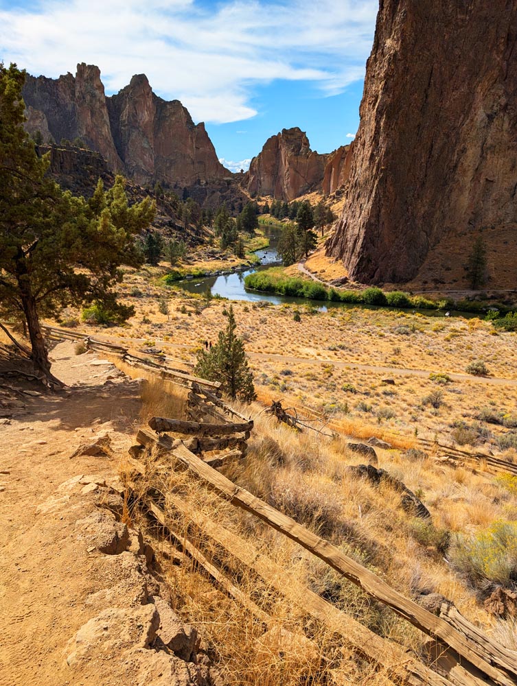
After a leisurely breakfast and short hike with our friends we head for Smith Rock, an unusual geologic formation that would look more at home in Utah than Oregon. It's a mecca for rock climbers but for Mimi and I any trail more than about 40 degrees we'll pass on. We'll leave the 90 degree plus hikes to younger people. I tried this once in my youth and can't understand the appeal of risking your life for a trivial emotional reward. None the less we admired their determination and they all keep themselves in good shape. We enjoyed several miles of trail here before heading to our $6 BLM campground about 15 minutes away. This high desert juniper CG was clean with spacious sites that normally would go for $12 but due to being seniors we got it for half price. In California the state parks are $35 to $60 but the government feels generous giving us $2 off for being seniors.
Looking down on Smith Rock from the parking lot.  


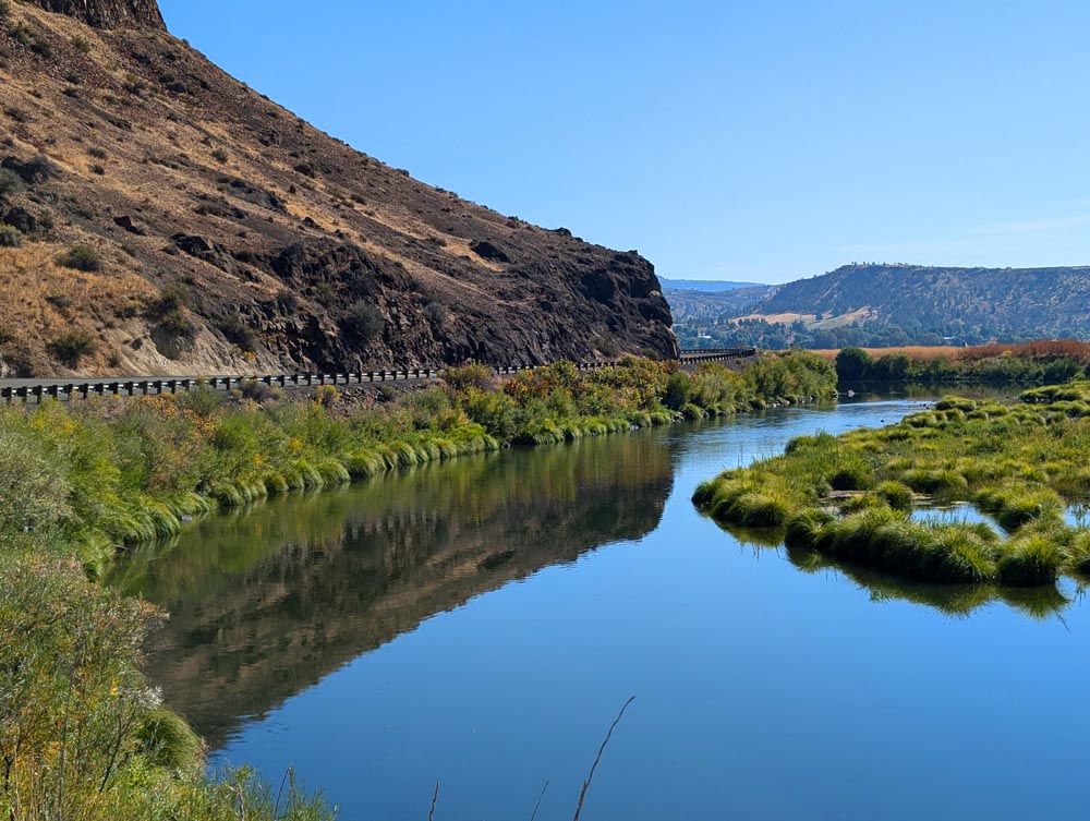
One of the many scenes we saw on the road from our camper. This I believe was the John Day river near Spray. 


September 19

Today we head for Pendleton seeing sights along the way and hoping to get a tour of their factory.
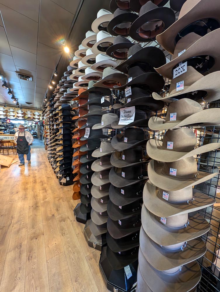
I had figured the drive would take about four hours, but as usual between fueling up, stopping for sights and a bite of lunch, it took over six and we missed our tour. But it was a small loss as we didn't want to miss all the old towns and other sights along the route. Plus we have come to realize that just riding along watching the unique and sometimes strange landscape and views through the large picture windows of our camper is one of the things we really enjoy. Afterwards we toured Pendleton a town rich in old buildings but sadly a lot of it's buildings were either vacant or boarded up. Next we headed for our Emigrant Springs campground. They had several sites left but we couldn't get them without going online and reserving them they said. Well it took the help of a friendly lady camp host and ourselves almost a half hour to download the application program and then go through all the hoops of securing a site.
 
    The semi ghost town of Vinson Canyon


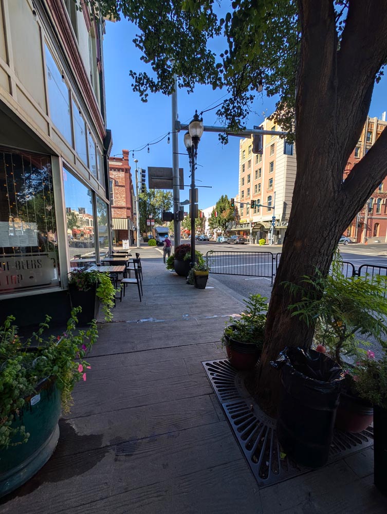
The historic section of Pendleton.   Does something give you the idea this is a western town?


  September 20

We took a pleasant wooded hike around our campground in the early morning before setting off for Wallowa Lake area and hopefully securing a peddle railroad ride. We stopped at several towns along the way as a leg stretcher including Enterprise where parking was a challenge. We finally found an empty looking lot and as we got out realized we had parked at the police station. Oh well, at least it's doubtful someone will break into our camper here. After a little tour (& no ticket) we headed to Joseph to just miss our ride on the railroad tracks. With 20-20 hindsight it would have been nice to secure a reservation yesterday. On to Joseph, a charming little town on the north shore of Wallowa Lake. We spent about a half hour touring the old buildings filled with everything from upscale art stores to museums. Then we headed to the Iwetemlaykin Heritage site for a hike I didn't expect too much of but it wound up being very pleasant ranging from open grasslands giving way to lush woodlands surrounding a quaint little pond filled with lily pads and aquatic life where all you heard was the wind rustling through the aspen leaves. We had stayed at the state campground at the south end of the lake years ago and it was very popular even then. But now and on a Friday we didn't even attempt to secure a spot but instead got a nice inexpensive city fair campground and to our surprise were the only ones there.
The Iwetemlaykin Heritage hike.    


September 21

It got down to near freezing last night, the coldest one so far. Luckily it stays about 20 degrees warmer inside our camper and we have two heaters to bring up the temperature quickly. After dumping and filling up with water (complimentary with our cheap campsite), our next stop was La Grange. Another wonderful old town center filled with stately stone buildings more reminiscent of European towns than the strip cities you often get here. Unfortunately it also had many closed shops. Still the walk and window shopping was fun. On to the National Historic Oregon Trail Interpretive Center near Baker City. It's an amazing museum filled with displays and stories of settlers coming to the west during the 1860's and the hardships they endured. And after that trip, the work of starting a farm in this new land was just starting. No wonder mostly young people took this trip as there was a lifetime of work ahead. On through Baker City as an accidental detour. It wasn't on our agenda but it's downtown looked so stately we had to stop for another walk. Again a this elegant downtown had quite a few stores closed. On to Sumpter. We had planned on looking over the town and museums but as it was getting late we looked at our campground list instead. Union Creek was the first one we came to and being state run it was fairly full and most likely about $35 or without hookups and needing to work through some sort of reservation system. On a lark we drove to our second choice the Southwest Shore CG which was run by the Forest Service. It was mostly empty, very scenic, cost about $6 and had no reservation system but instead you filled out a simple tag where one part went went on your windshield and the other with your money going into a metal slot. Fast & simple with no cell signal or connection needed.
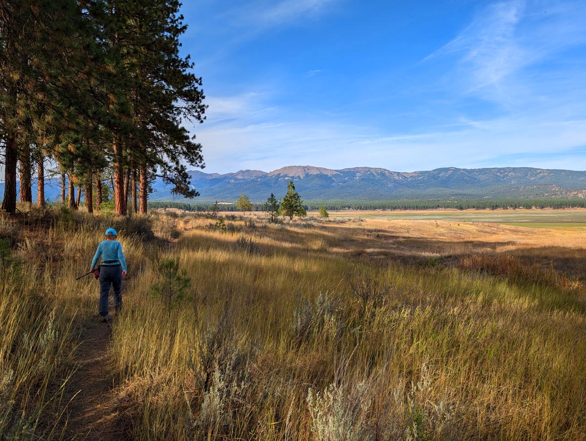
After settling in we took a scenic grassland and Ponderosa pine walk with only soft warm winds, bird chirping, and our footsteps to accompany us in the waning evening light.


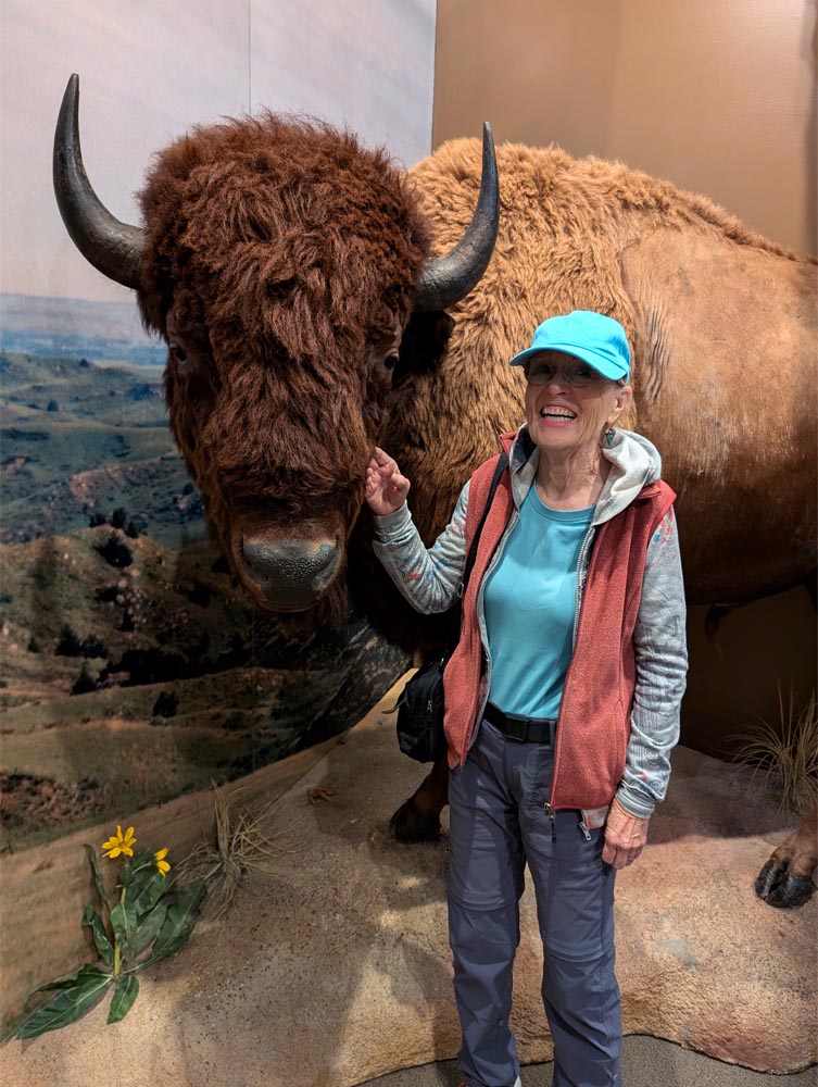
Mimi making friends at the museum.


A very pleasant evening stroll right out of our Southwest Shore campground.


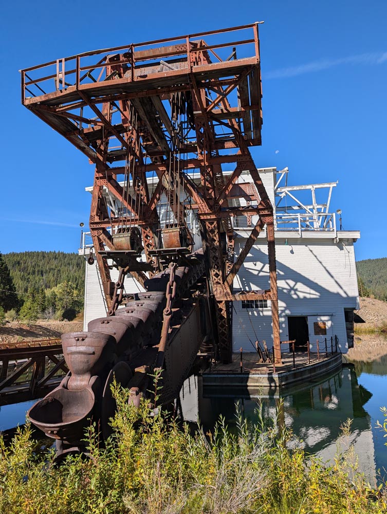
The new Sumpter Dredge.
  September 22

We had a nice leftover breakfast of eggs, spam, onion and potato's made better by eating it while camping.
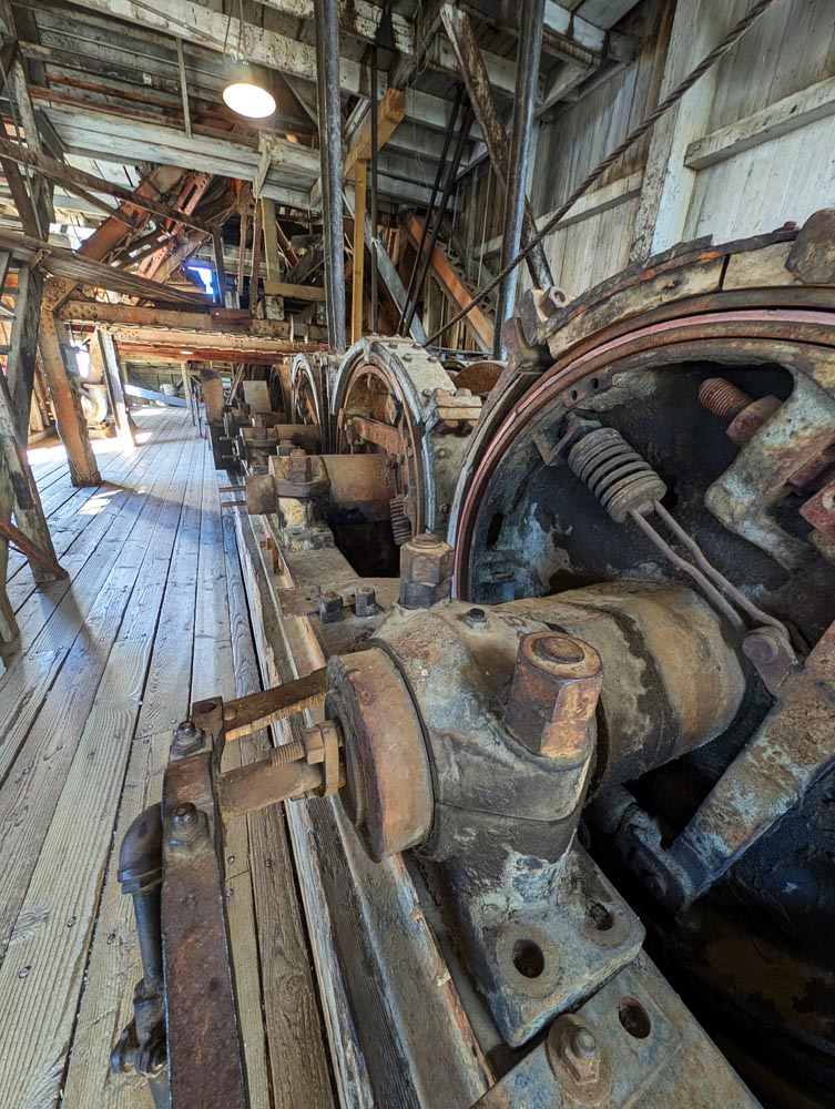
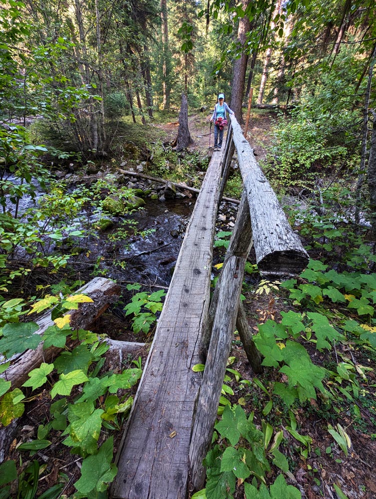
Off to the small town of Sumpter which use to be much bigger except for a horrible fire of 1917 that destroyed most of the town from which it never recovered. The main stop here was the giant dredge that would dig for gold starting at the end of Phillips and working it's way to Sumpter about 8 miles away. The digs are so large they can be seen by satellite and on most maps. When we first saw it 20 years ago the dredge was a rusting rotting hulk. It was about to be destroyed but in a nick of time a few thoughtful people worked to preserve it and it's now the star attraction of the area and an important state historic site. On to our Slide Creek campground in a deeply wooded forest that sounded real interesting complete with a creek side hike. So Ms Garmin (our female voiced liberated GPS) guided the way. She's usually very reliable but I got suspicious as she took us miles out of the way. But finally she had us turn in the right direction which would have been through a locked gate past which we could see a old and deeply rutted dirt road scaling the side of a mountain. After a bit of detective work I found the right road and Ms Garmin finally caught on after after several miles and guided us the right way. Still it was over five miles of washboard roads to a small overgrown campground at the end. We finally found a spot and after putting on our hiking gear took the Slide Creek Connection trail which got high ratings. Well it was nice but so full of scrubby undergrowth it lost much of it's appeal. We still enjoyed the hike and campground but not as much as many others that were far less trouble to get to.


Some of the dredge machinery.   Slide Creek Connection trail, ah... going over the Slide Creek.


September 23

Off to the Steens Mountain area a unique geologic mountain range in the middle of the state. Our first stop was the Narrows Wildlife Viewpoint. Well... Malheur Lake was suppose to be huge spanning an area of 4 miles by perhaps 15 miles, but all that remained was a large puddle perhaps 100 feet square right under the viewpoint. And all we saw were a few female Mallards. But our lunch there was pleasant as we looked out over the dry plains with a balmy wind slowly going through the camper. Then on to the Sod House I knew little of except a spot on the map which looked like it might be worth a quick look. Ms Garmin again tried to take us down a dirt road in spite of me setting it to avoid those roads. But it was easy to find with only a short dirt section before the site itself. What a surprise! It was more a ranch museum than one house, all set among majestic cottonwoods and thick verdant grasslands. We happily wandered around from one building to the next reading the descriptions of one of the largest cattle ranches in the USA during it's time. On to the Malheur Visitors Center where we again didn't expect much but it was a very nice and well kept small complex including a visitors center, museums and outbuildings such as view stations. Next came the Diamond Crater area where I expected an immense volcanic landscape complete with cinder cones as it covers almost 27 square miles. But driving to near the middle of it we only saw small red lava hills with a few shallow depressions and a lot of dirt roads too difficult to go on, so we pressed onto to our Page Springs BLM campground. As this was way out in the middle of nowhere and on a Monday we didn't expect to see the campground completely full! Luckily as we rounded the last leg some motorcyclists hailed us saying "there's only one open spot left right next to us... by the red bike". We couldn't believe our ears and rushed right there at the full campground speed of 5 mph. Well the site was a bit strange and most people might have missed it due to looking like it was right on the road. But it was level, private under some trees and we happily settled in for the evening taking a walking tour around the campground after dinner.


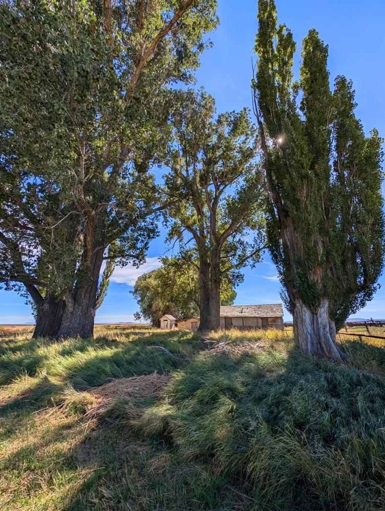
 Part of the Sod Ranch among its planted Cottonwoods


September 24

After another hearty breakfast we changed into our gear and took a mile or so hike on the Blitzen River, first named Donner and Blitzen by a German army lieutenant in the mid 1800's for the thunder and lightning as he crossed it. Now you know what the reindeer names mean. On to Winnemucca and the Water Canyon. It was a long drive with only two stops. The first one was the Three Mile Creek Hike about 20 miles down. After a parking on a lumpy and very sloped staging area we changed and took a steep dry dusty rubbly hike up a mountain face through a sparse dwarf Juniper forest with marginal views. That was one of our shorter hikes. Our next stop was the Winnemucca Sand Dunes we had passed many times but never stopped at. Well Mimi was driving and I was navigating and somehow the turn off came up so abruptly we missed it again. It was not worth turning around for as it was a fast freeway we were on with large trucks so we drove on for a tour of the historic downtown of Winnemucca instead. Compared to previous towns it had a lot of gaps in the three block area where building must have been torn down. The remaining ones weren't as stately as other towns and most of the stores in them were thrift stores, bars, pawn shops and a small cafe or two. Though to give credit it did look like the city was trying to revitalize the area.
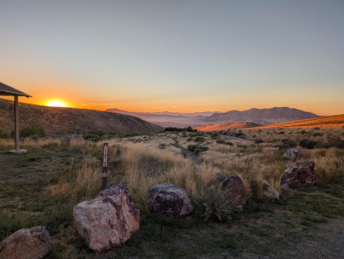
On to the Water Canyon a BLM area above the hills of the town. It was several miles on dirt but newly graded and dampened so very fast and dustless. We luckily found a great spot overlooking the town below and took off on a hike upstream along the dense poplar and aspen laden creek which was very enjoyable. The evening glow made for an almost surreal sunset as we dined looking out of our camper picture window to the city below.


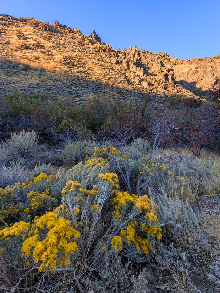
View from our Water Canyon campground in the evening.


A section of the Water Canyon hike we took the following day.
  September 25

In the morning we took another hike up the canyon until it started to get too steep and rocky. Then we headed for the Washoe Lake area and the Davis Creek campground which would be our last one. We had only one short stop on the way in the town of Lovelock and the old courthouse there. It wasn't that interesting and we quickly moved on. As we drove towards Reno the temperatures kept climbing. As it got into the upper 80's we felt we would be miserable in our camper without being plugged in and running our air conditioner. Besides without being able to go outside it wasn't much of a camping experience so reluctantly we decided to head straight home. It was a long grueling drive as once in California, the freeway construction began with it's loss of lanes resulting in narrowed remaining lanes, rough roads, stoppages, and the massive amount of high speed traffic once it did get going. But we survived and got home around 4pm. At least it was cool here and we didn't have to watch how much water or electricity we used and we had a very comfortable bed. Good trip in spite of a few problems.


Notes

Only a half dozen things went wrong with the camper on this trip. Loose screws, lost signal to the backup camera, awning problem, a strange clunk from the back (only happened once though) a few other very minor things and the need to change oil - which is really not something wrong but a painful chore anyway. On getting home the estimates for an oil change ranged from $150 to $600 so I'll be doing it myself. It only takes about 45 minutes as it's always a little bit of a learning curve. If I did it regularly like the shops do it's a 25 minute job. To be fair it takes 12 quarts of oil which is about $70 of the cost.

Trump signs:
Were all we saw. I suspect you'd get lynched if you displayed a Harris sign. I also suspect that the great political divide in our country might be more between country and city than any other factor.

Fuel prices:
Were fully a dollar less than in California. And the roads are generally better... but not always.

Oregon vs Nevada:
We saw quite a few old farmsteads that looked abandoned similar to those found in Nevada & saw a trend.
If the building is surrounded by farm fields, you're in Oregon.
If the building is surrounded by junky cars and other equipment, you're in Nevada.